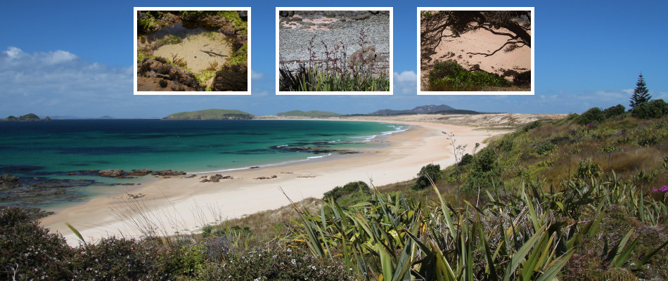

Areas of Henderson Bay
Default Area
Accessible from the main carpark at the end of Henderson Bay Road this area is from the top of the cliffs out to the edge of the rocks at low tide. The northern end is the gut past the lagoon while the southern end is the first creek.
Dunes Area
The main dunes area is in the middle of the beach accessible from the main carpark. It runs from the second creek down to the third creek.
Please tag observations from this area as Dunes Area
Southern End
The southern end of the beach accessible from the main carpark. It starts at the third creek all the way down to the end of the beach.
Please tag observations from this area as Southern End
Pink Beach
The beach area that is accessible from Kauere Road. The area is from the bottom of the cliffs out to the rocks that are exposed at low tide.
Please tag observations from this area as Pink Beach


